ArcOpole
Description
Le programme arcOpole est conçu pour répondre aux besoins SIG des collectivités territoriales françaises utilisatrices des produits ArcGIS.
Créé en 2009 par Esri France, le programme arcOpole regroupe plus de 500 collectivités.
Aperçu
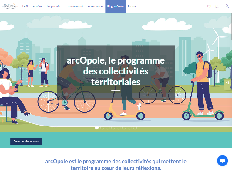
Accueil
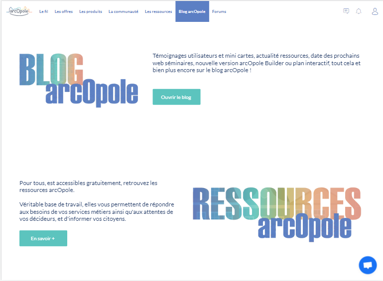
Accueil

Fil d'actualités
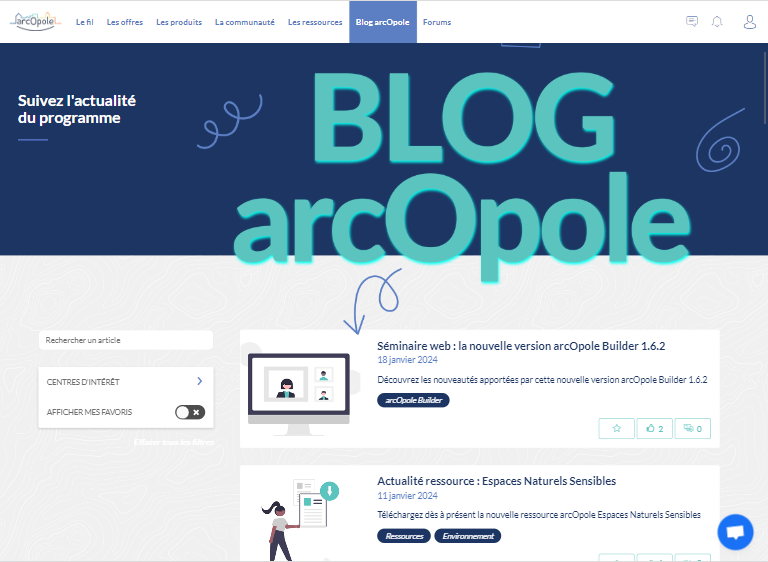
Blog
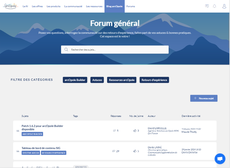
Forum
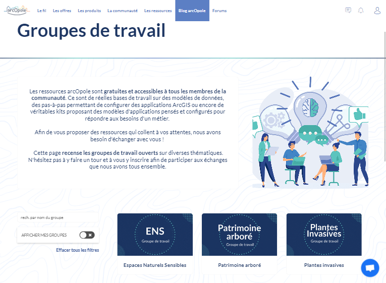
Groupes

Partenaires
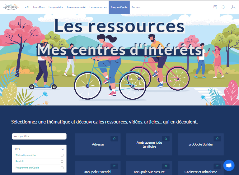
Ressources
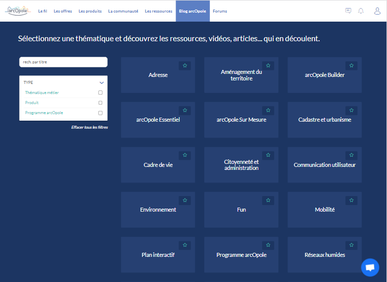
Ressources


